
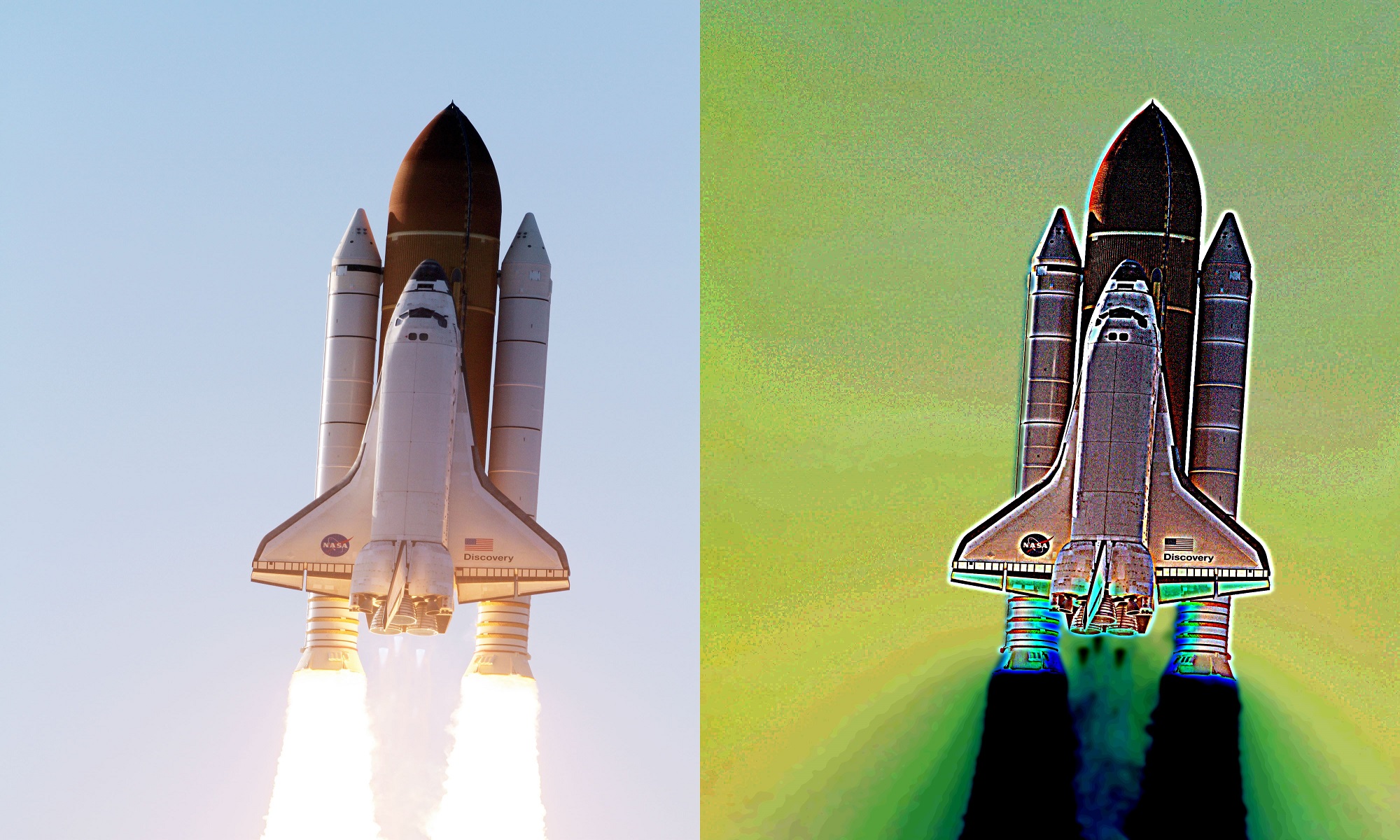
Imagine using ERV imaging products in Earth’s Space and elsewhere in the cosmos to improve visibility through diminished visibility environments (DVE) such as soil, murky water, wispy clouds, haze, mist, fog, dust, smoke, snow and more.

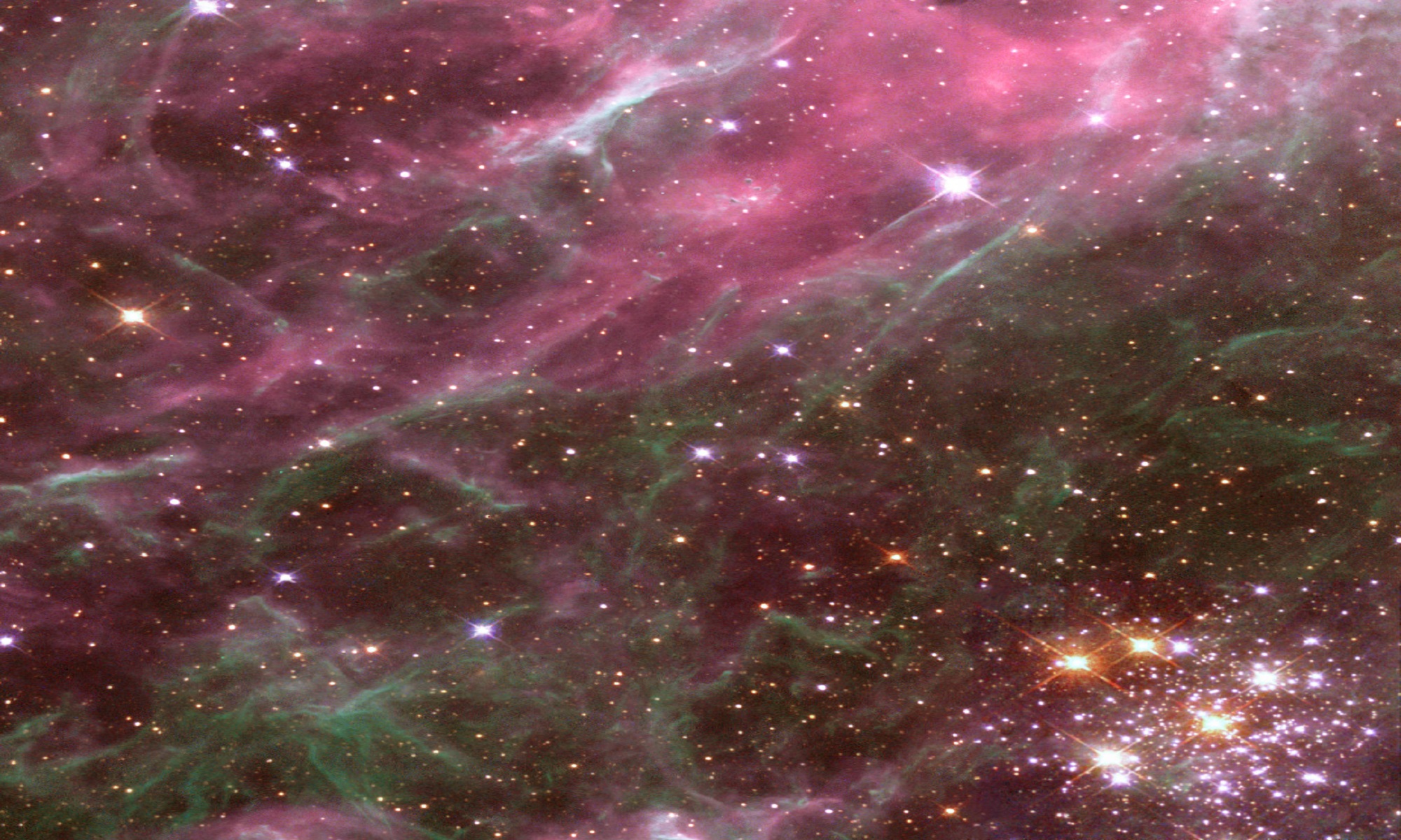
Cosmic gas and dust 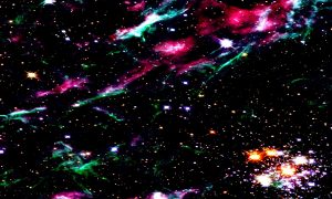
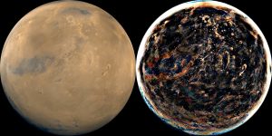

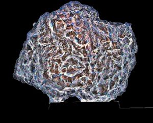


Below is an example of what will be revealed such as on Mars (the original NASA image is shown in the top-left corner compared with what SpaceVee’s ERV reveals) – you decide what you see. Keep in mind that scientists have concluded now that Mars is a giant snowball covered with a thin layer of dusty/dirty-ice. So what if that layer can be breached? What might we find?
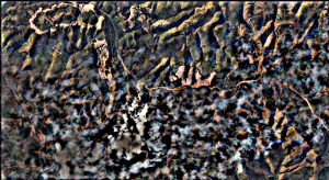
Compare the images frame by frame (original video released by NASA/JPL):
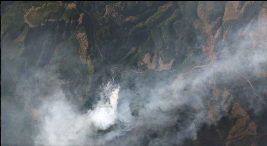
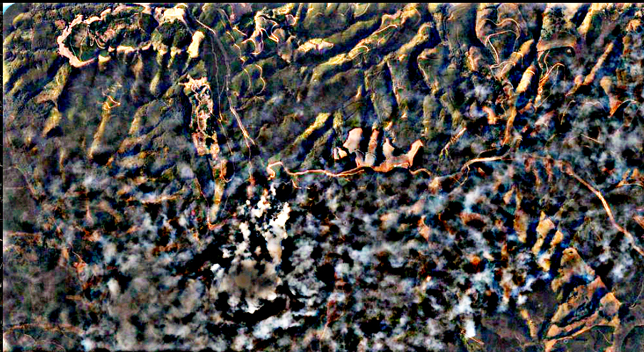
SpaceVee has partnered with SOAR.earth, a leading innovator of global mapping with images sourced from satellites as well as drones belonging to ordinary citizens. The video below is a demonstration of how satellite images can be captured, enhanced by Vision and overlaid perfectly with maps.